Satellite monitoring & alerts — see your fields from above
Continuous satellite monitoring of vegetation health, productivity anomalies, and climate-driven risks. Seven indices processed automatically — you receive alerts before problems are visible on the ground.
7 satellite indices
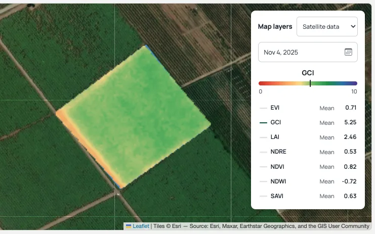
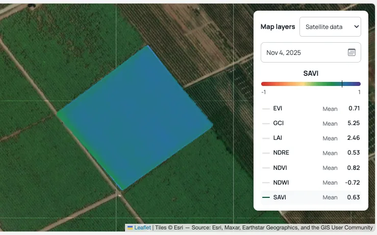
EVI, GCI, LAI, NDVI, NDRE, SAVI and NDWI, updated with every satellite pass.
Automatic anomaly detection
Vegetation irregularities flagged and classified by likely cause.

Climate history & forecasts
Past weather context and forward climate projections alongside satellite readings.
Index examples
Trusted by


